 Livingroom with fire place
 Bedroom
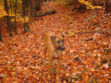
 Smores at the campfire
 Kitchen
  View from outdoor shower
 Vegatable and Berry garden
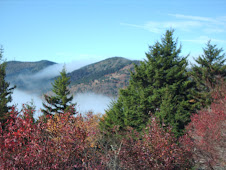
  Cog
CogAnd here are the numbers. 24,500' of ascending and 11,250 of descending on a total of 38.8 miles. 27.4 miles up and 11.4 miles down. That's an average of 17% grade on the climbs and almost 19% coming down. It was actually the Auto Road that brought my average percent down on the climbs!
Day 56 = 0'
Day 57 = 4,300' - MW via Tuckerman's Ravine trail. Up only.
Day 58 = 6,650' - MW via the Auto Road, then Wild Cat via the Pole Cat trail. Up only on MW, up/down on Wild Cat.
Day 59 = 4,500' - Mt. Adams via Airline Trail. Up/Down.
Day 60 = 2,750' - Mt. Jefferson via Caps Ridge trail. Up/Down.
Day 61 = 2,000' - Wild Cat via the Pole Cat trail. Up/Down.
Day 62 = 4,300' - MW via Tuckerman's Ravine trail. Up only.
Day 63 = 0'
103,378' in 63 days, with 46,622' to go.
I've got another nice cushion to work with here.


Beautiful country. Did you hook up with Tilton while out there at all?
ReplyDeleteDidn't see KT, but realised about 15 times how sick it is that he went sub :60 on Tuck's! 4.2 miles and 4,300' in one hour is certainly doable by him, but the terrain is what makes it such an accomplishment.
ReplyDelete